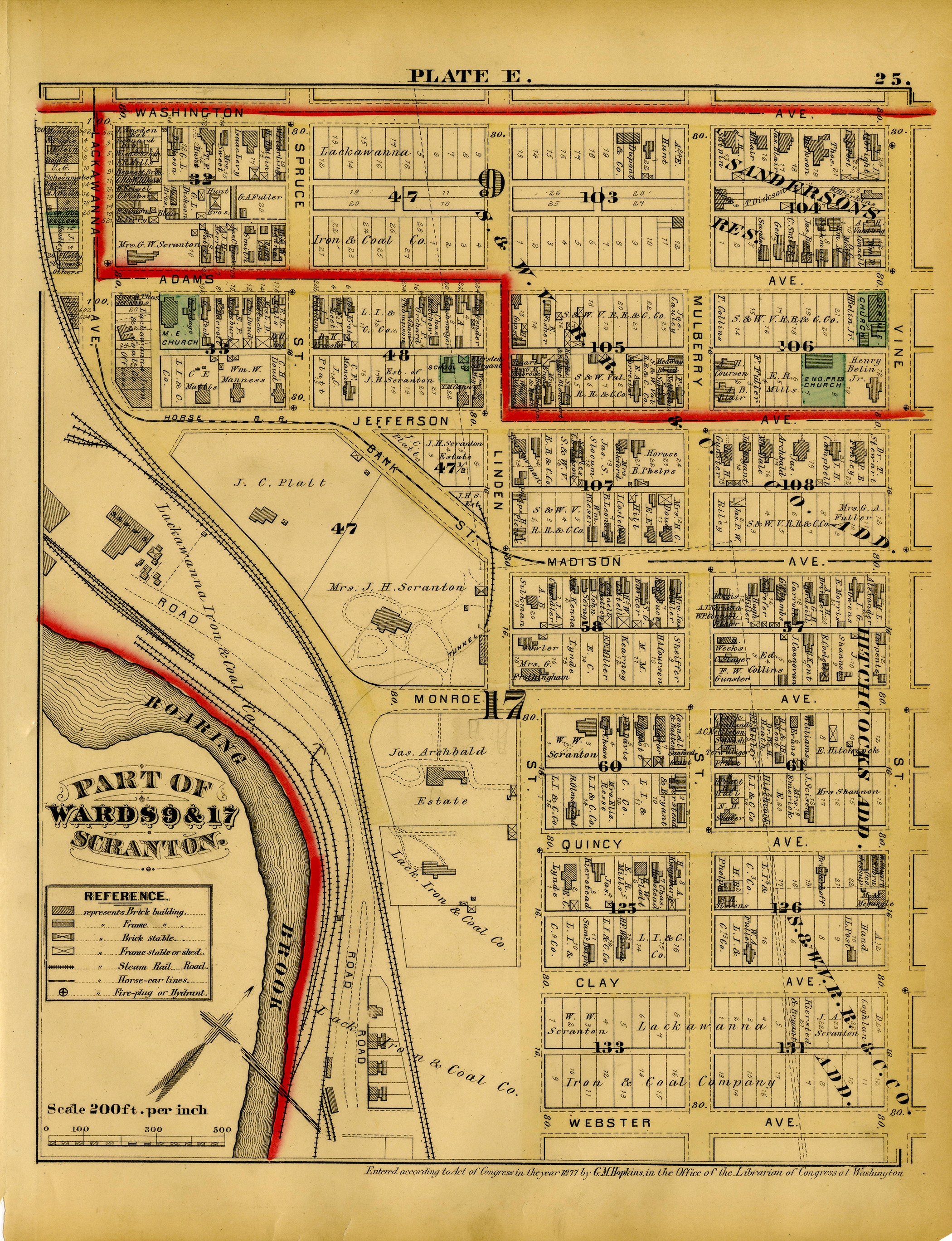
1877 Map of the Scranton Estates
Item
- Title
- Description
- Date
- Subject
- Source
- Record Identifier
- Exhibit Section
-
1877 Map of the Scranton Estates
-
Map of Scranton (1877) showing parts of Wards 9 and 17, including the Joseph H. Scranton Estate, the J. Archbald Estate, William Walker Scranton Estate, and the Lackawanna Iron & Coal Company. This area would later become the University of Scranton campus.
-
1877
-
Lackawanna Historical Society
-
lhs-maps_002
- Item sets