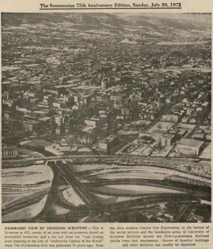
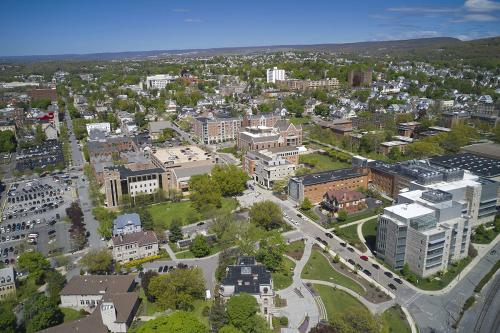
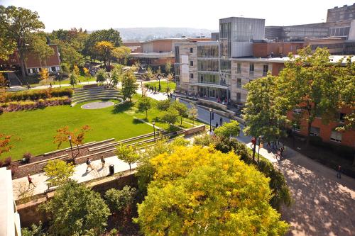
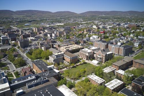
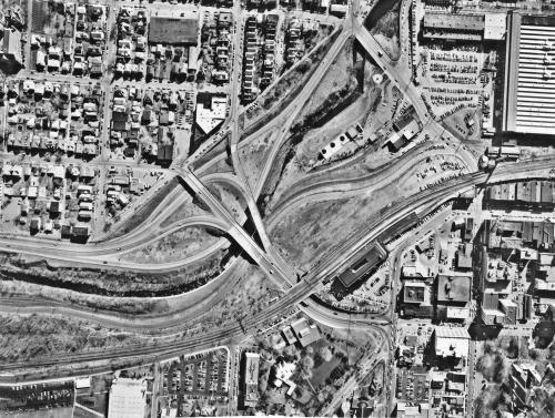
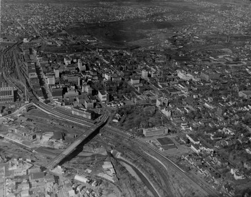
Scrantonian article with aerial photograph concerning the modern changes in Scranton, including at the University. Visible are St. Thomas Hall, Caitlin House, Loyola Hall, the Long Center, Gunster Memorial Student Center, Scranton Estate, andAlumni Memorial Hall
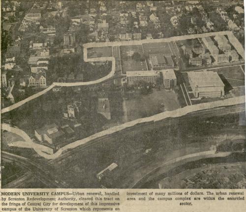
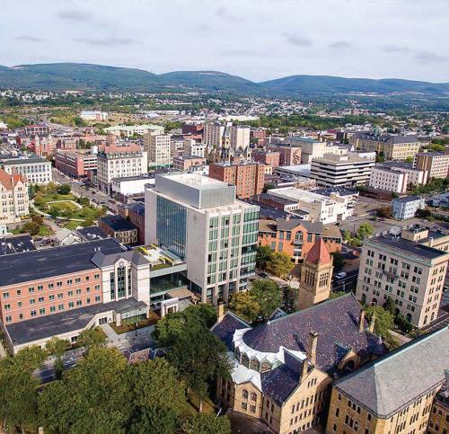
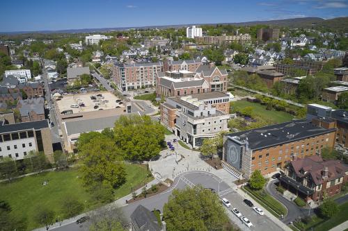
Visible are Loyola Hall, St. Thomas Hall, Scranton Estate, Alumni Memorial Hall, Nevils Hall, Driscoll Hall, Gunster Memorial Student Center, Lackawanna County Juvenile Center, and the Gallery Building
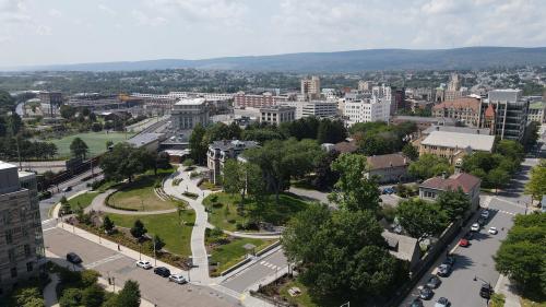
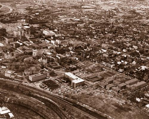
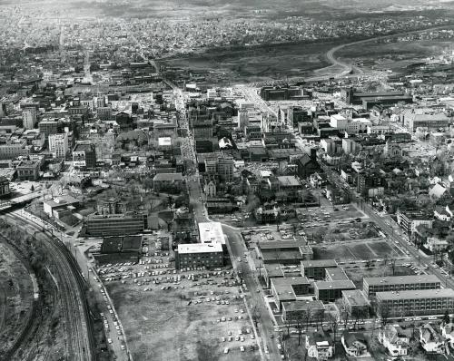
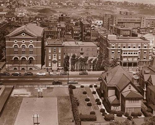
Visible is Loyola Hall, University Barracks (Arts, Business, and Engineering Buildings), Caitlin House, Quain Memorial Conservatory, Scranton Estate, Scranton Hall, Chapel of the Sacred Heart, Gallery Building, and O'Hara Hall
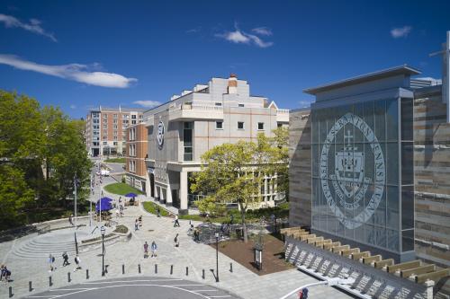
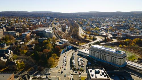
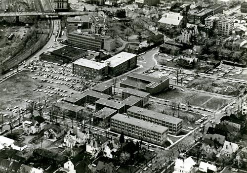
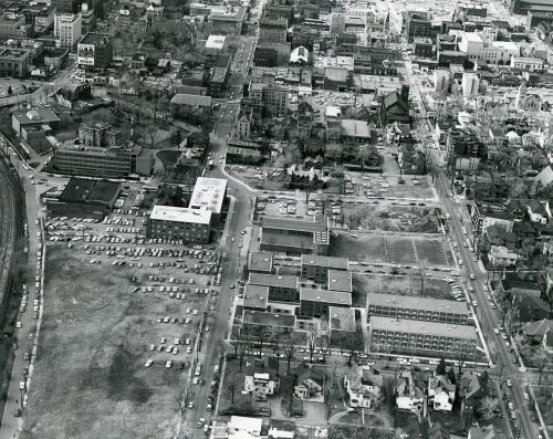
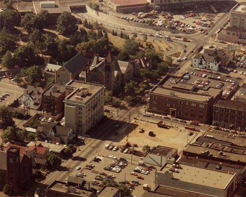
Visible are O'Hara Hall, the Houlihan-McLean Center, Leahy Hall, and the Elm Park Methodist Church, as well as the lot for Hyland Hall before its construction has begun.
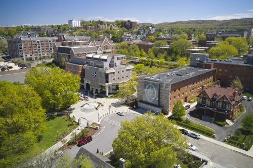
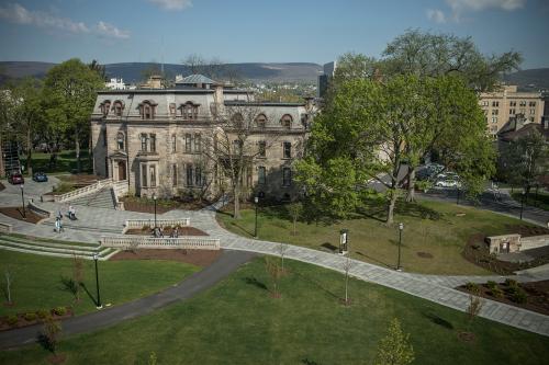
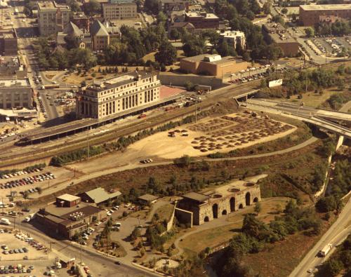
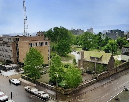
Includes views of Loyola Hall, Scranton Estate, Rev. G. Donald Pantle, S.J., Rose Garden, Chapel of the Sacred Heart, Quain Memorial Conservatory, and Scranton Hall