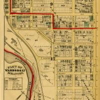
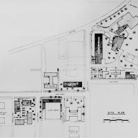
Map of Scranton (1877) showing parts of Wards 9 and 17, including the Joseph H. Scranton Estate, the J. Archbald Estate, William Walker Scranton Estate, and the Lackawanna Iron & Coal Company. This area would later become the University of Scranton campus.
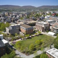
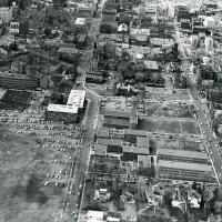
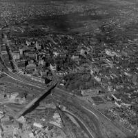
Visible are Loyola Hall, St. Thomas Hall, Scranton Estate, Alumni Memorial Hall, Nevils Hall, Driscoll Hall, Gunster Memorial Student Center, Lackawanna County Juvenile Center, and the Gallery Building
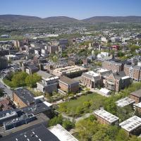
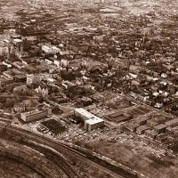
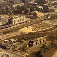
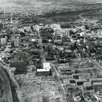
Visible is Loyola Hall, University Barracks (Arts, Business, and Engineering Buildings), Caitlin House, Quain Memorial Conservatory, Scranton Estate, Scranton Hall, Chapel of the Sacred Heart, Gallery Building, and O'Hara Hall
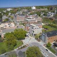
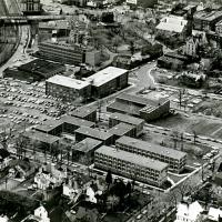
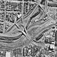
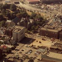
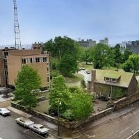
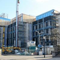
Visible are O'Hara Hall, the Houlihan-McLean Center, Leahy Hall, and the Elm Park Methodist Church, as well as the lot for Hyland Hall before its construction has begun.
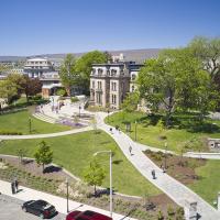
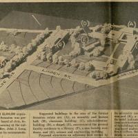
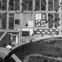
Includes views of Loyola Hall, Scranton Estate, Rev. G. Donald Pantle, S.J., Rose Garden, Chapel of the Sacred Heart, Quain Memorial Conservatory, and Scranton Hall