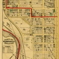
Map of Scranton (1877) showing parts of Wards 9 and 17, including the Joseph H. Scranton Estate, the J. Archbald Estate, William Walker Scranton Estate, and the Lackawanna Iron & Coal Company. This area would later become the University of Scranton campus.
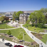
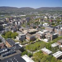
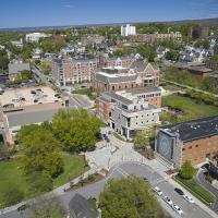
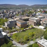
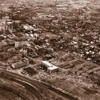
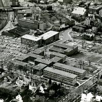
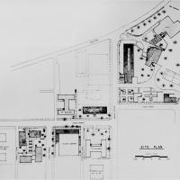
Visible are Loyola Hall, St. Thomas Hall, Scranton Estate, Alumni Memorial Hall, Nevils Hall, Driscoll Hall, Gunster Memorial Student Center, Lackawanna County Juvenile Center, and the Gallery Building